Fustat Archaeological Site
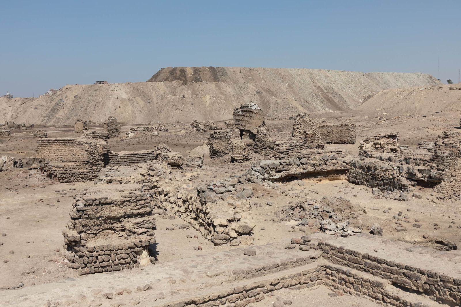
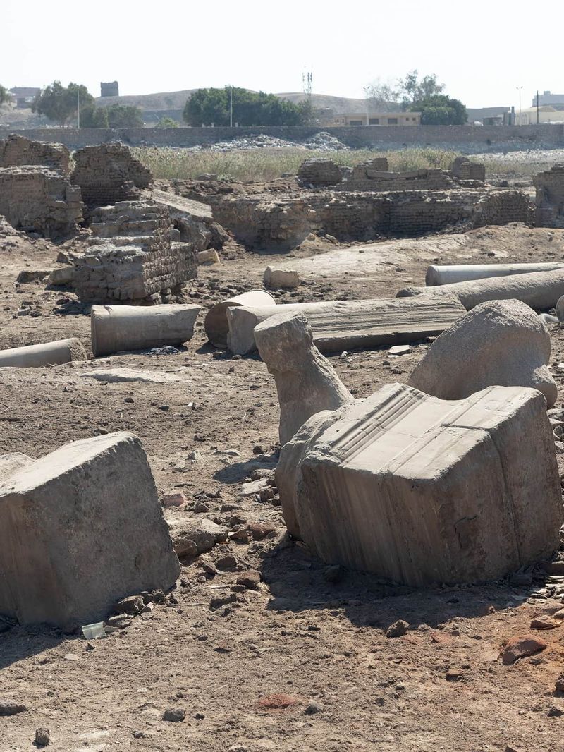
The excavated houses of Fustat, Egypt's first Islamic capital, where brick homes up to four storeys high had their own water channels.
The city of the tent
Fustat was founded in 641, the year 20 of the Hijra, when the army of Amr ibn al-As took the Roman fortress of Babylon and settled beside it. The ground was then almost empty apart from the fortress. The name means "the tent", from the camp the conquerors pitched here.
The first building of the new capital was the Mosque of Amr ibn al-As. The Emirate House, the residence of the governors, followed. Houses, markets, lanes and alleys spread out around them. Fustat became the capital of Egypt and one of the great trading cities of the medieval world. Even after the Abbasids founded al-Askar, the Tulunids al-Qatai and the Fatimids al-Qahira to the north, Fustat remained the commercial heart of the region.
Fire and burial
At the end of the Fatimid period, in the 12th century, a great fire swept through the city and burnt its eastern half. The burnt quarter was abandoned. Over the centuries it disappeared under mounds of earth and rubbish, while Cairo grew to the north.
Excavating the houses
Systematic digging began in 1912. Between 1912 and 1920 the Egyptian archaeologist Ali Bahgat and the French engineer Albert Gabriel uncovered whole houses, now known as the Fustat houses, dating from the Tulunid period to the Fatimid period, between the 9th and 12th centuries. Hassan al-Hawari continued their work and found a house of the Tulunid era. From 1964 to 1980 George Scanlon excavated here for the American Research Center in Egypt. A later joint Japanese and Egyptian mission dug in the al-Fawakhir area behind the mosque of Amr.
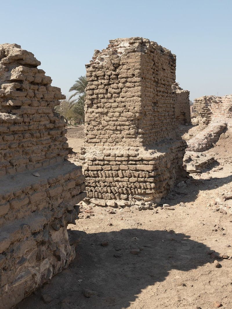
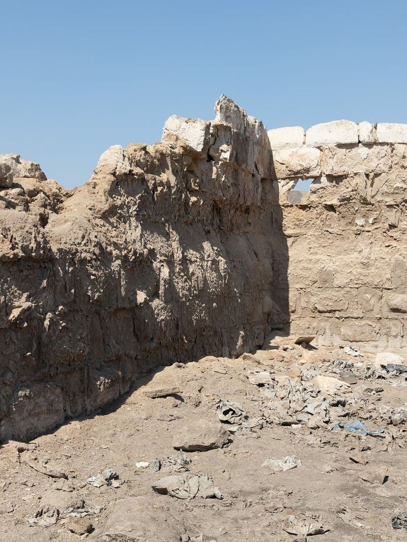
The houses could rise to four storeys. They were built of red brick around an open courtyard, with a main hall, a group of rooms and often a garden. The remains now stand between about half a metre and two and a half metres high, but most still keep their water supply and drainage channels. Pottery, glass, coins and objects of daily life from the excavations are shown in the Museum of Islamic Art.
Fustat today
The excavated area now lies inside the Fustat Hills Park project, a green park of about 500 feddans on former waste ground. The plan gives the ruins their own excavation zone, set among gardens and the Ain al-Hayat lake, with the National Museum of Egyptian Civilization on the hill above.
Exhibo editorial
Most capitals keep their beginnings under later streets. Fustat let its beginning go: the burnt half of the city was simply left while the rest of Cairo moved north. What survives is the floor plan of everyday life rather than monuments, room after room of brick walls cut down to knee height.
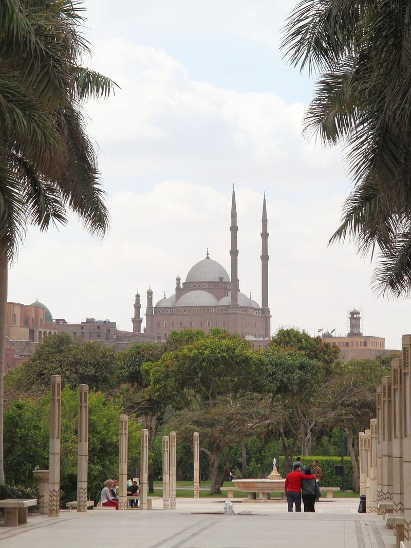
Look for the drains. A thousand years ago families here had water channels running under their courtyards. The quiet of the site, with the minarets of Old Cairo on one side and the new park rising on the other, makes the scale of that lost city easier to imagine.
Gallery
How to find it
The excavations lie east of the Mosque of Amr ibn al-As in Old Cairo, between the mosque and the National Museum of Egyptian Civilization, inside the Fustat Hills Park development. From Mar Girgis metro station walk north past the mosque, then east towards the park. Access to the excavation zone depends on the park works, so ask at the park gates.
Similar places
All places
News by Exhibo
Editorial coverage on Exhibo
The Museum of Everything That Became a Tomb
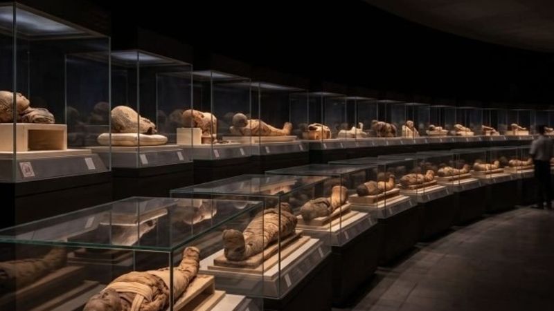
Egypt built a museum to tell the story of an entire civilisation — seven thousand years of it, from flint tools to the present. The public knows it for one thing: the room where twenty dead kings lie in the dark.
In a black, hushed hall beneath the National Museum of Egyptian Civilization in Old Cairo lie the mummified bodies of Ramesses II, Hatshepsut, and eighteen other rulers of the New Kingdom — carried here in 2021 in a televised parade watched around the world.
Agatha Christie's Egypt: Three Abu Simbels, a Pharaoh and a Murder on the Nile
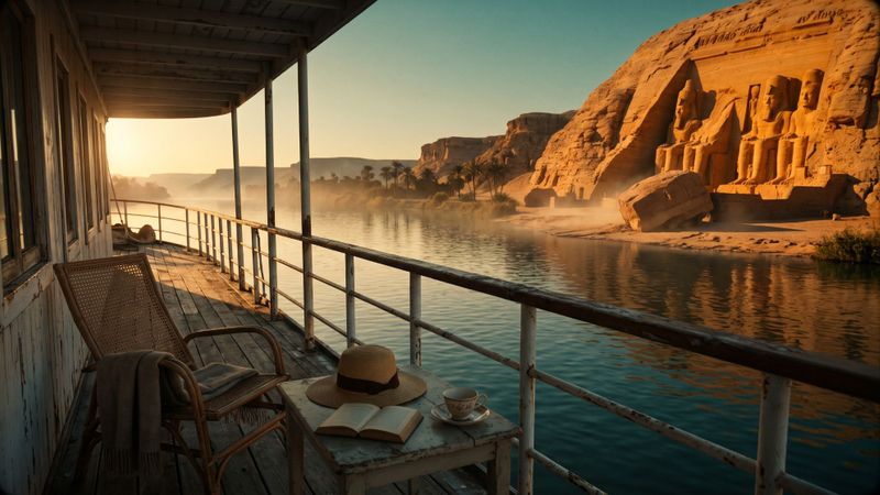
Christie set one famous murder on the Nile and two lesser-known stories in ancient Egypt. The temples, letters and film sets behind all three.
The Abu Simbel of Death on the Nile has since moved up a hill. Christie's two other Egyptian stories lead to a pharaoh's dismantled temples at Karnak and a farmer's 4,000-year-old letters now in New York.
The Real Oasis of The Alchemist: Al-Fayoum and the Dream Coelho Borrowed
Paulo Coelho sent his shepherd to a real place in Egypt. What Santiago would have found there and where the story of the treasure at home came from.
Santiago's oasis is real. Al-Fayoum lies 100 km from Cairo, with Roman-era painted portraits, a temple on the caravan road and a dream story centuries older than Coelho.