Two harbours for a maritime power
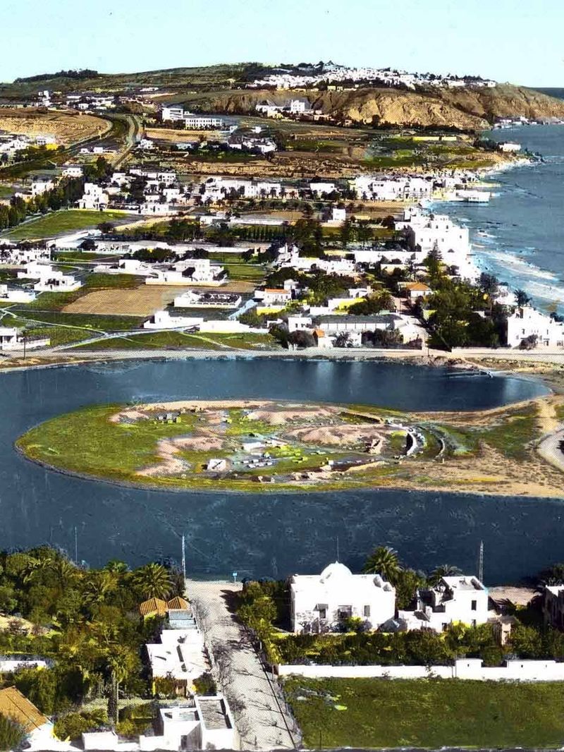
Carthage lived from the sea. Its two artificial harbours lay one behind the other near the southern edge of the city. The outer harbour was rectangular. Merchant ships moored here and unloaded their cargoes. A channel led through it into the inner harbour, a circular basin reserved for the war fleet. In the middle of the circle stood an island. From a building on the island the admiral could watch the whole harbour and the open sea beyond the walls.
The Greek historian Appian, writing in the 2nd century AD from earlier accounts, described the naval harbour in detail. Around the edge of the basin and around the island ran covered docks with slipways. Together they could house 220 warships. Two Ionic columns stood in front of each dock, so that the whole circle looked like a colonnade. A double wall hid the naval harbour from the merchant ships outside.
What archaeology found
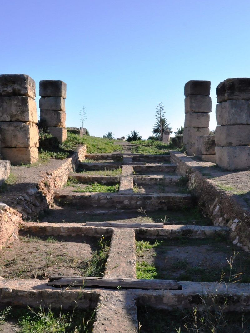
From the 1970s the international campaign to save Carthage, led by UNESCO, brought teams from many countries here. A British team directed by Henry Hurst excavated the island and part of the circular harbour. They found the foundations of the ship sheds and their sloping ramps. The excavations confirmed Appian's account in its main lines. The stone docks date from the last century of Punic Carthage, the late 3rd or early 2nd century BC, when the city was rebuilding its strength after its first wars with Rome.
The ports today
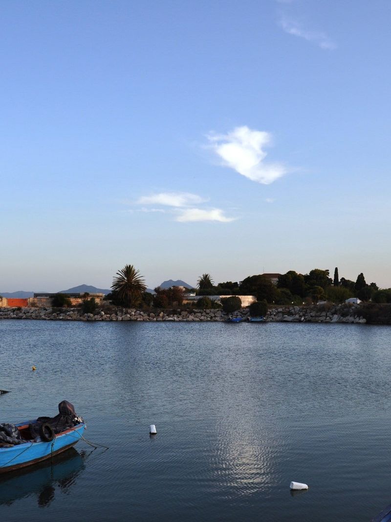
The two basins survive as shallow lagoons in the quarter of Salammbo. Fishing boats lie on the shore. The island in the round harbour can still be reached on foot, with the outlines of the excavated docks around it. The Tophet of Salammbo is a short walk to the west. The Salammbo Oceanographic Museum stands nearby on the shore.
Exhibo editorial
It is hard to believe that this pond once frightened Rome. Ducks paddle where triremes slid down their ramps. A man mends nets beside a garden wall.
Stand on the island and turn slowly. The circle is still perfect. Imagine the ring of docks, the columns, the admiral's tower above you and the fleet hidden behind its wall. Then picture the end, in 146 BC, when the Romans fought their way in from this side. Come late in the day, when the water goes still and the light falls low across it.
Gallery
How to find it
The Punic Ports are in Salammbo, the southern part of Carthage. Take the TGM light railway from Tunis Marine to Carthage Salammbo; the lagoons are a few minutes' walk towards the sea. The Tophet of Salammbo is close by, so the two make an easy pair.
Similar places
All places
News by Exhibo
Editorial coverage on Exhibo
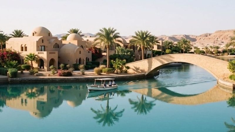
Why the Middle East Keeps Building Venice
From the Red Sea to the Gulf, canal towns keep getting called Venice. The water was usually about something else — and Venice was never quite Venice either.
The Middle East is full of “Venices”. Most began as a way to manufacture shoreline; the name usually arrived later, in English, from the people selling it.
Elie Khouri's New Foundation Takes Shape in Dubai
A private villa in Jumeirah 1 becomes the home for Ekaf
Collector Elie Khouri transforms a historic Jumeirah 1 residence into a contemporary art venue opening in 2028.

Following Damascus... Osthaus and the Islamicate Collection
Museum Folkwang revisits the founder's early travels and the formation of its historic Islamic Department
A survey of Karl Ernst Osthaus's collecting habits, featuring loans from Berlin and Dresden alongside European modernist responses.