A fort at the mouth of the bay
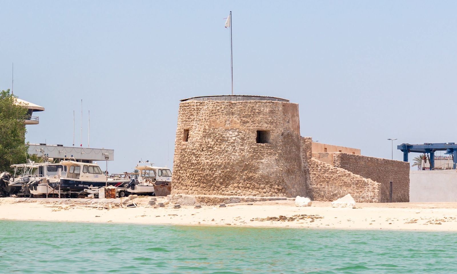
Bu Maher Fort, Qal'at Bu Mahir in Arabic, stands on the southern tip of Muharraq Island, facing Manama across the narrow channel that separates the two. A fortification already marks the spot on a Portuguese map of 1635. The first structure here was probably a single tower from the years of Portuguese control of Bahrain in the 16th and early 17th centuries.
The fort known today is usually dated to 1840. It was built on a rectangular plan with massive walls and a round tower at each of its four corners. Together with Arad Fort on the opposite shore of Muharraq Bay, it closed the water between the island and the main island of Bahrain.
Guarding the pearl
Bu Maher protected far more than the shore. In the 19th century Muharraq was the capital of the Gulf pearl trade. The basin below the fort was where the pearling fleet gathered at the beginning and end of each diving season. The fort guarded those boats from raiders. It also watched over the town's main source of drinking water, a freshwater spring rising from the seabed offshore.
In 1868 British warships bombarded the fort and destroyed much of it. Its military role ended there. The ruin gained a new one: as one of the highest points on the island's southern tip, it became the place from which Muharraq watched the dhows leave for the oyster banks and return at the end of the season, with festivities on the shore on both occasions.
What remains
Only the southern tower and its attached defensive wing still stand, partly rebuilt in the 1970s. Excavations have uncovered the lower courses of the north-western and south-eastern towers and the foundations of the northern wall, which now lie open around the standing tower and trace the outline of the original fort.
The start of the Pearling Path
In 2012 UNESCO inscribed "Pearling, Testimony of an Island Economy" on the World Heritage List. The site brings together 17 buildings in old Muharraq, three offshore oyster beds and the seashore around Bu Maher Fort. The fort is the southern starting point of the Pearling Path, the trail that runs north from here through the alleys of Muharraq past merchants' houses such as Siyadi House, majlises and a mosque linked to the pearl trade. A small visitor centre beside the fort introduces the route. In the old town the route begins at the Pearling Path Visitor Centre, under its red concrete canopy by Valerio Olgiati.
In 2024 the Bahrain Authority for Culture and Antiquities opened a tender to restore the fort, with a protective roof over the tower, new floor slabs and a pedestrian bridge to give access from land in addition to the boat.
Exhibo editorial
Most forts in the Gulf face the desert. Bu Maher faces the water, which tells you where the money was. Thousands of Bahraini boats once worked the oyster beds. Every one of them passed under this tower on the way out and on the way back.
Arrive by boat if you can. Seen from the channel, with Manama's towers behind and fishing boats pulled up on the sand beside it, the small stone tower looks almost too modest for its history. That is the point of standing here before walking the rest of the Pearling Path: everything grand in old Muharraq, the carved merchants' houses and their wind towers, was paid for by what came ashore on this beach.
How to find it
Bu Maher Fort sits inside a coast guard area at the southern tip of Muharraq, so it is not open from the landward side. The usual way to reach it is by a short boat ride from the jetty of the Bahrain National Museum on the Manama corniche, across the channel. Check boat times with the museum before going. From the fort the Pearling Path continues north into old Muharraq.
Similar places
All places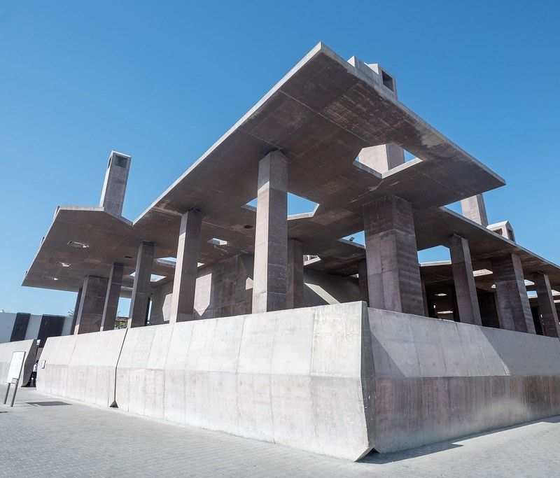
News by Exhibo
Editorial coverage on Exhibo
The Sea That Came Before the Oil: The History of the Pearl
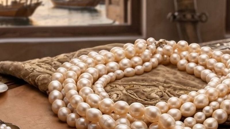
Eight thousand years before the first barrel, the Gulf had already built a global economy — out of an oyster, a held breath, and a rope.
Before oil, the Arabian Gulf ran on the pearl: a global luxury trade that raised its cities from the sand, drew fortunes and real suffering in equal measure, and then vanished almost overnight. The story of the industry that made the modern Gulf — and the quiet way it is coming back.
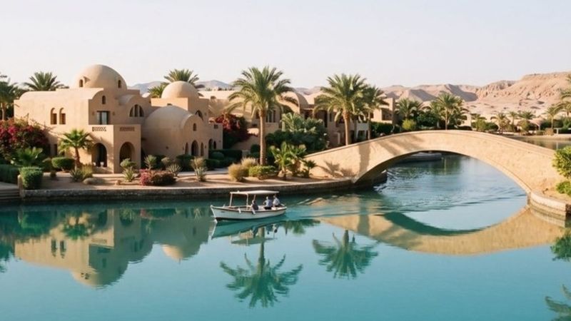
Why the Middle East Keeps Building Venice
From the Red Sea to the Gulf, canal towns keep getting called Venice. The water was usually about something else — and Venice was never quite Venice either.
The Middle East is full of “Venices”. Most began as a way to manufacture shoreline; the name usually arrived later, in English, from the people selling it.
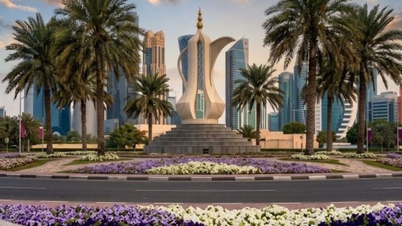
Why Doha Is Full of Roundabouts
An old circle at a crossroads, sharpened by British road engineering, became the way an Arabian city found its way and remembered itself — and it took the bulldozers to reveal it.
In a city where a landmark was more useful than an address, Doha's roundabouts became its navigation, its landscaping and its national image all at once. Now they're being torn out for signalled junctions — and the affection for them arrived, as one scholar put it, only posthumously.