Petra Archaeological Park
The rose-red capital of the Nabataeans, carved into the sandstone mountains above Wadi Araba.
The city of the Nabataeans
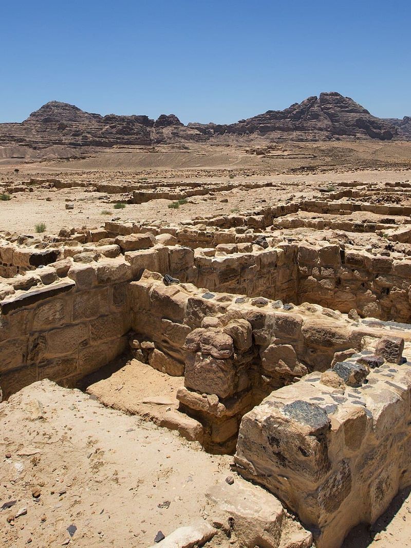
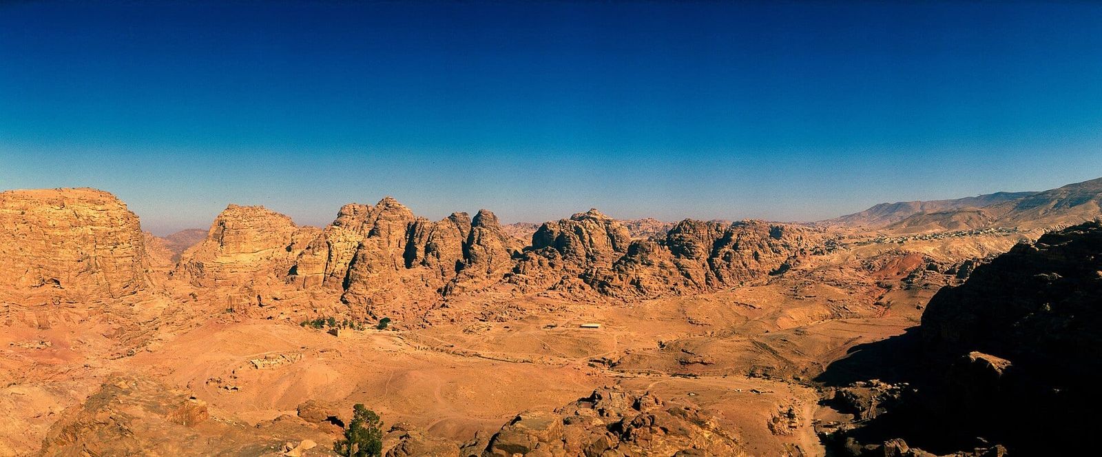
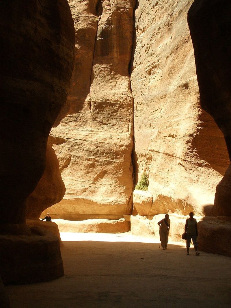
Petra was the capital of the Nabataeans, an Arab people who grew rich on the caravan trade in incense, myrrh and spices between southern Arabia, Egypt and the Mediterranean. The city lies in a basin of sandstone mountains east of Wadi Araba, reached through narrow gorges. UNESCO inscribed it as a World Heritage Site in 1985. The Petra Archaeological Park covers some 264 square kilometres and holds more than 800 recorded monuments.
History
The Nabataeans were settled here by the fourth century BC. Petra reached its height between the first century BC and the first century AD, under kings such as Aretas IV, when tens of thousands of people lived in and around the city. Rome annexed the kingdom in AD 106 and Petra became part of the province of Arabia. A great earthquake in 363 and the shift of trade to sea routes and other cities brought a long decline. Petra was still the seat of a bishop in the sixth century. The Crusaders built small forts here in the twelfth century. In 1812 the Swiss traveller Johann Ludwig Burckhardt, travelling as a Muslim pilgrim, became the first European in centuries to describe it.
Water and stone
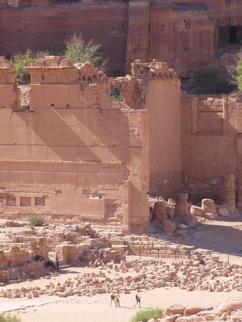
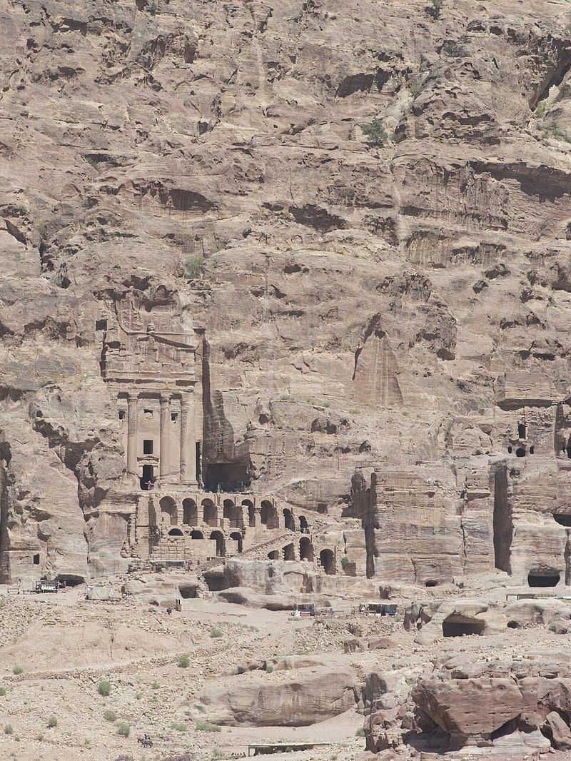
The Nabataeans were masters of water. Dams, cisterns, terracotta pipes and channels cut along the cliffs caught winter floods and spring water to keep a city alive in the desert. Their architecture mixed local forms with Hellenistic, Egyptian and Mesopotamian ones: tombs crowned with stepped crenellations, classical pediments and columns. They even devised a capital of their own.
The main trail
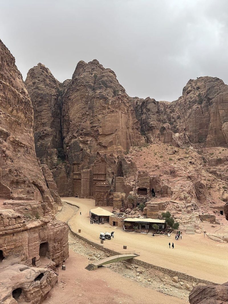
The main route runs from the Visitor Centre in Wadi Musa through the Bab as-Siq and the Siq to Al-Khazneh. It continues past the Street of Facades, the Theatre and the Royal Tombs to the Colonnaded Street and Qasr al-Bint, about 4 km one way. From there some 800 rock-cut steps climb to Ad-Deir. Side trails lead to the High Place of Sacrifice and the Al-Khubtha viewpoint over the Treasury. Petra by Night, when the Siq and the Treasury are lit by candles, runs on several evenings a week with a separate ticket.
Exhibo editorial
Petra is usually sold as one image: the Treasury at the end of the Siq. That image is real, but it is the first ten minutes of a city that takes days to walk. Most of Petra is not facades. It is quarries, cisterns, staircases cut into mountains, tombs nobody has named. Valleys where the only sound is gravel under your shoes.
Plan for the size of it. Start at opening time, when the Siq is still in shade. Climb at least once, to the Monastery or the High Place. Then the logic of the place appears: a city laid out along a dry riverbed, held together by water channels, watched over by its dead from every cliff.
Gallery
How to find it
Start at the Petra Visitor Centre at the bottom of Wadi Musa town, where tickets are checked. The trail descends through the Bab as-Siq, about 800 m, to the entrance of the Siq. The Treasury is roughly 2 km from the gate and Qasr al-Bint about 4 km. Horse rides on the first stretch are offered at the gate. The rest of the way is on foot. The walk out is uphill, so keep water and energy for the return.