Forts of Ghar El Melh
Three seventeenth-century forts guarding the old corsair harbour of Porto Farina, between the mountain and the lagoon.
Ghar El Melh is a fishing town on the north coast of Tunisia, at the foot of Djebel Nadour and on the shore of the lagoon that bears its name. It lies about forty kilometres east of Bizerte by road. Its three forts, built around 1650, are among the best preserved Ottoman-era military buildings in the country. In February 2026 the Islamic World Heritage Committee, meeting in Tashkent, added the fortifications of Ghar El Melh to its definitive list of heritage sites in the Islamic world.
The place was a harbour long before the forts. In antiquity it served as an outer port for nearby Utica. Europeans later knew it as Porto Farina. The modern town grew up in the first half of the seventeenth century, when the Ottoman rulers of Tunis made it a military and commercial port and a base for the corsair fleet. The national heritage institute describes the forts as a meeting of Andalusian architecture and Ottoman craftsmanship. In 1655 an English fleet under Robert Blake attacked the harbour, silenced its shore batteries and burned the warships sheltering inside.
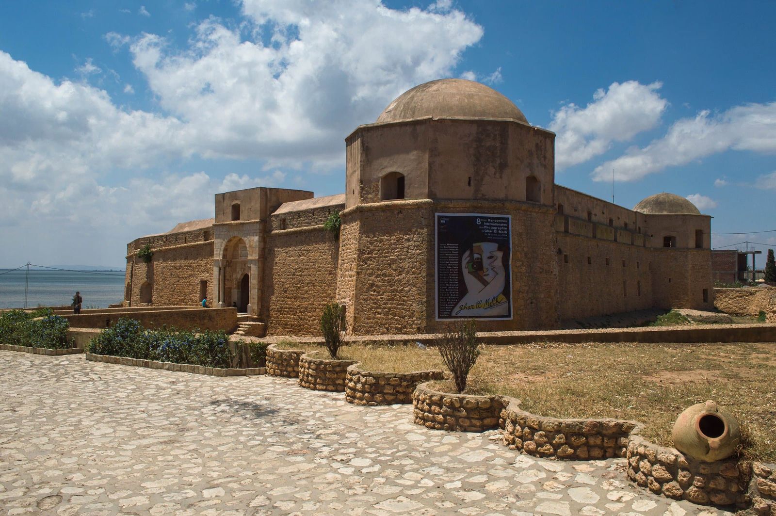
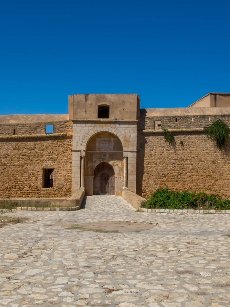
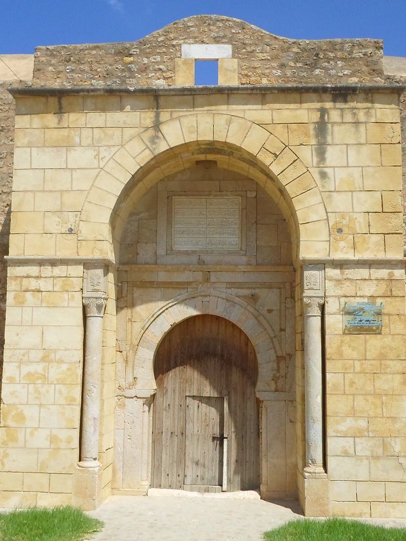
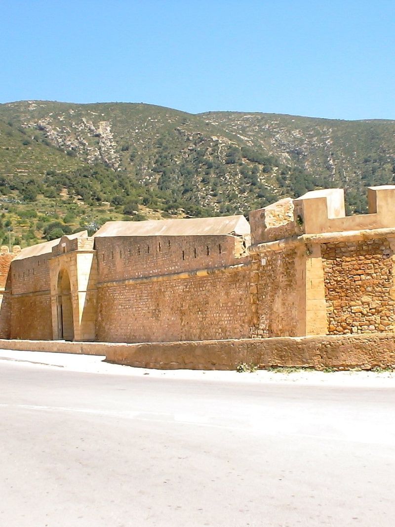
The three forts are known as Borj Loutani, Borj El Wustani and Borj Lazaret. One guards the entrance to the town, one rises above it and one stands by the old port. They are thick-walled, golden sandstone structures with angled bastions, arched gateways and, at Lazaret, domed towers. The old port is still enclosed by its seventeenth-century wall, which went under restoration in October 2025.
Porto Farina's naval life did not last. The Medjerda river slowly silted up the gulf and the harbour mouth until large ships could no longer get in. Its counterpart on the Gulf of Tunis is the Karraka Fort at La Goulette, which guarded the port of La Goulette. What remained at Ghar El Melh was a quiet town of fishermen and market gardeners. The lagoon, a shallow body of water of about three thousand hectares, was listed as a wetland of international importance under the Ramsar Convention in 2007.
Exhibo editorial
Ghar El Melh has the feel of a town that history passed by. It is better for it. The forts are not museum pieces in a tidy park. They stand in the middle of everyday life. Fishing boats are tied up in the same basin where corsair galleys once waited for the wind.
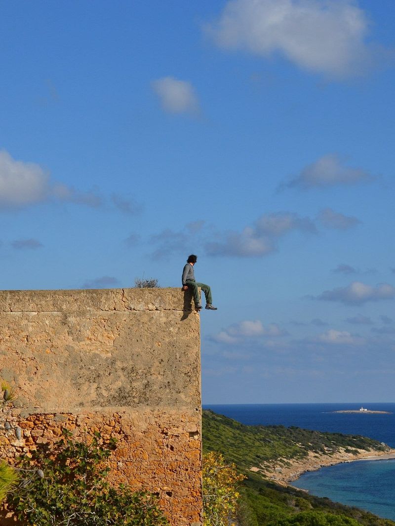
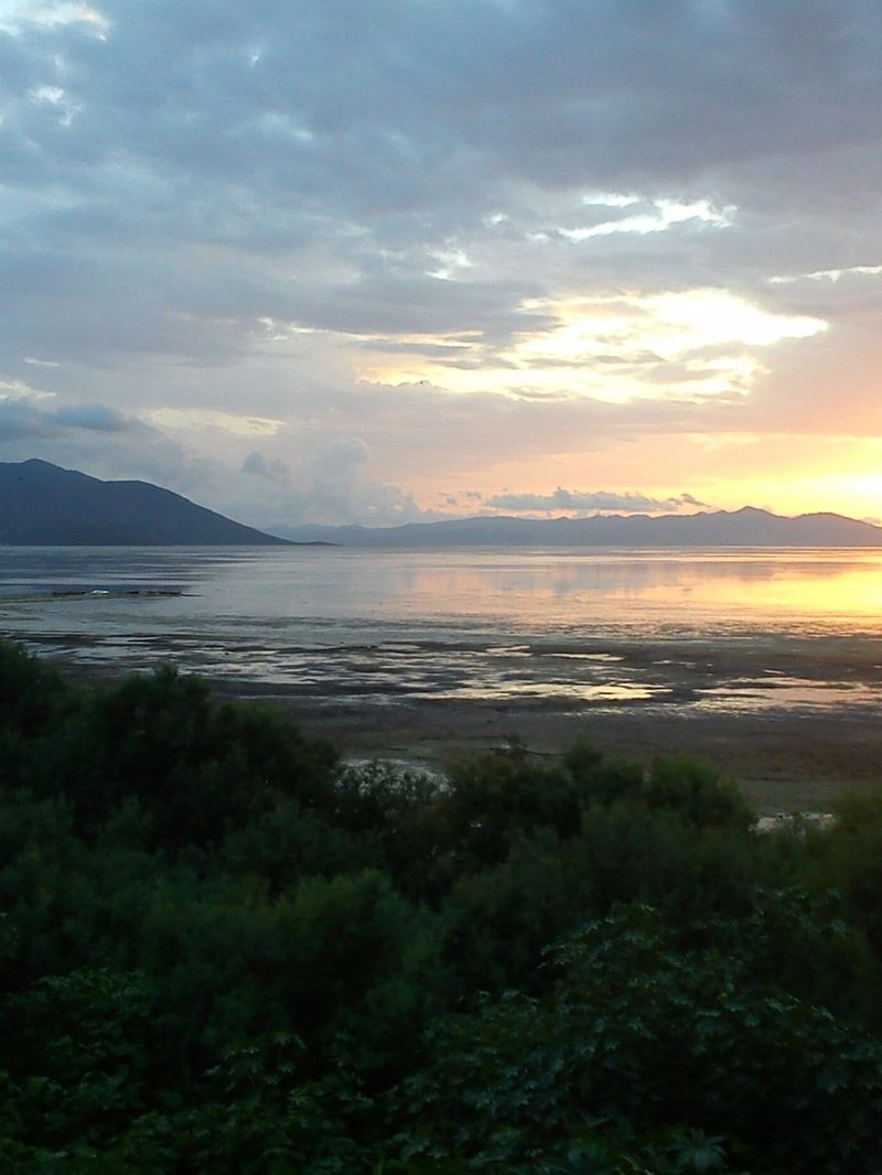
Walk from one fort to the next along the waterfront and you see the whole logic of the place: the mountain at your back, the lagoon in front, the narrow way out to the open sea. Then keep going east to the long beach and Cap Sidi Ali El Mekki, where the mountain finally runs out into the Mediterranean.
Gallery
How to find it
Ghar El Melh is about an hour's drive from Tunis and from Bizerte, reached through the plain of the Medjerda. The forts and the old port are all in the town and easy to see on foot; park near the waterfront and walk between them.